Where is Mali?
Mali is a country in Western Africa, bordered by Algeria, Burkina Faso, Côte d'Ivoire, Guinea, Mauritania, Niger and Senegal. Its capital is Bamako, and it covers 1,240,192 km².
Where is Mali on the map?
Mali is in Western Africa, part of Africa. It shares land borders with Algeria, Burkina Faso, Côte d'Ivoire, Guinea, Mauritania, Niger and Senegal. It is landlocked, with no coastline. The map above shows it highlighted, with its neighbours picked out.
What is the capital of Mali?
The capital of Mali is Bamako.
Mali at a glance
| Capital | Bamako |
| Continent | Africa |
| Region | Western Africa |
| Area | 1,240,192 km² |
| Land borders | 7 |
| Landlocked | Yes |
| Currency | West African CFA franc |
| Languages | French |
| Demonym | Malian |
| Calling code | +223 |
| Internet domain | .ml |
| ISO code | ML / MLI |
Which countries border Mali?
Mali borders 7 countries.
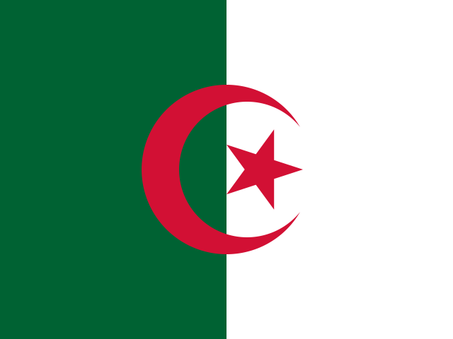 Algeria
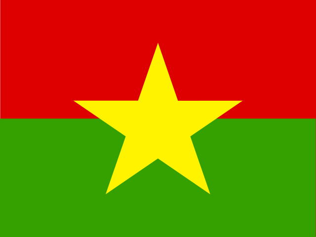 Burkina Faso
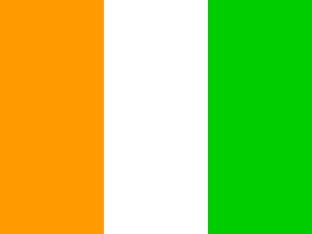 Côte d'Ivoire
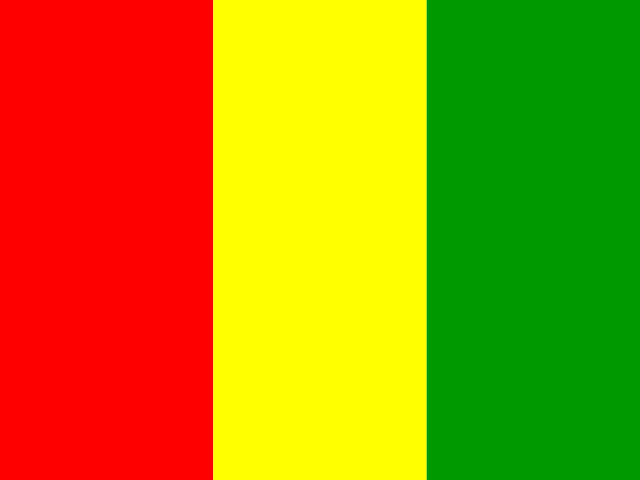 Guinea
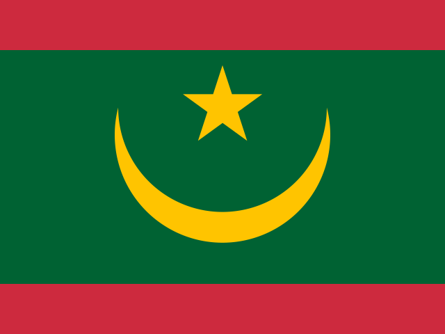 Mauritania
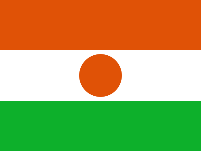 Niger
Niger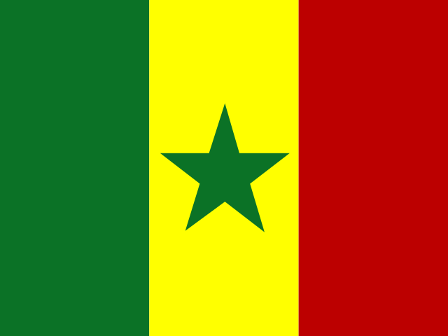 Senegal